Use leaflet to generate an interactive map with all geo / temporal tagged notes linked and displayed on the map
- New Geo/Temporal Map Data Structure for much faster Search & Display
- Implemented Overlay Tiles reading & Display
- Implemented Obsidian Notes Geo/Temporal data reading & Display
- Added Styled Controle Layer (https://github.com/davicustodio/Leaflet.StyledLayerControl) to organize Map Controls
- Linked Overlay Tiles to obsidian notes
- Interactive Overlay Tiles (e.g. political overlays)
- Changed year / tag filtering
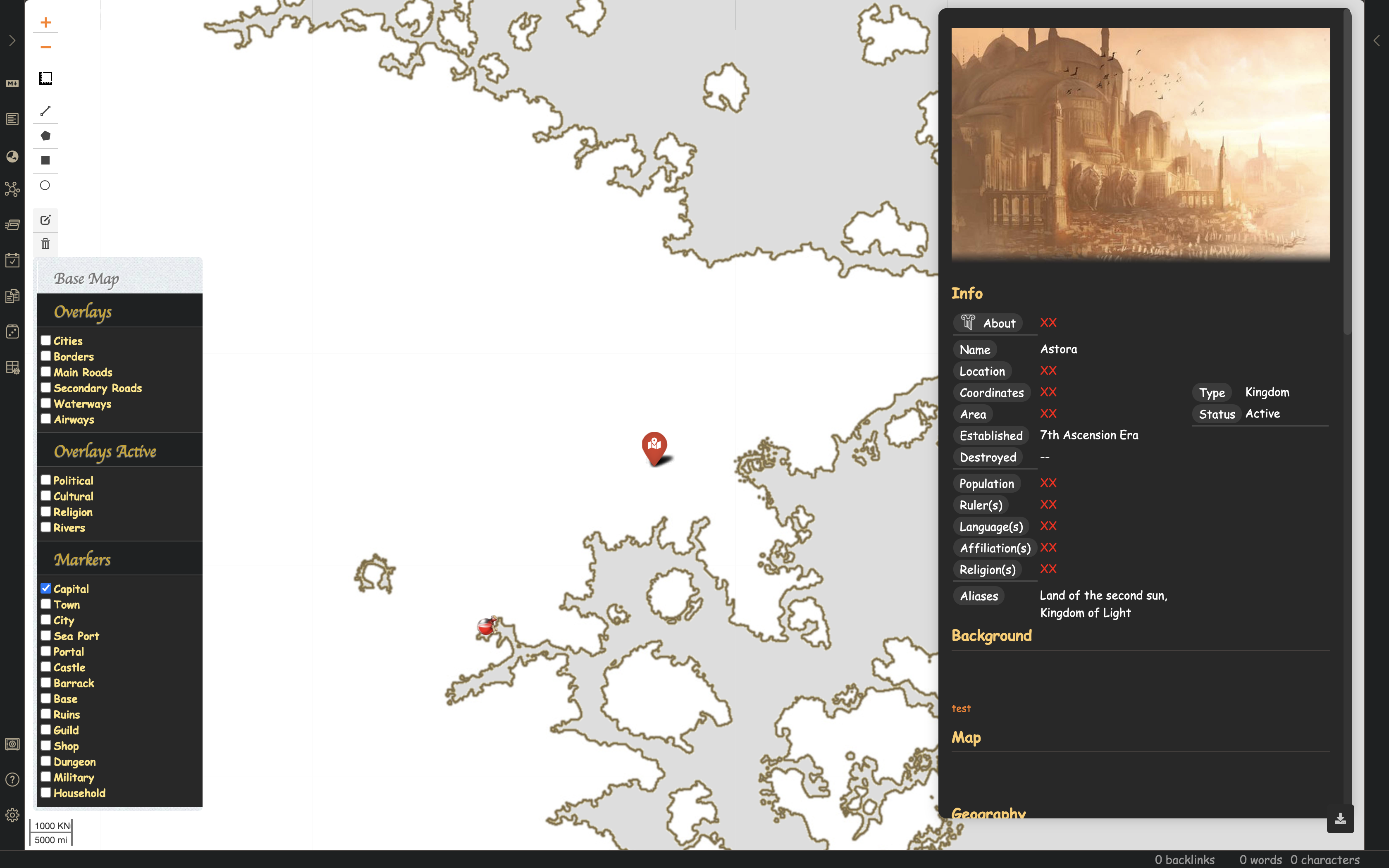
- Added Info display div (to display obsidian note linked to each map info)
- Disabled map navigation when inside Info div & Control Pannel div
- Added note Geo/Temporal block info:
<span class="ob-world-map"
	  data-type="Capital"
	  data-loc="9.380052 / 9.969492"
	  data-dateStart="20"
	  data-dateEnd="90"
	  data-icon="map-marked-alt"
	  data-color="red"
	  data-marker='<img class="map-custom-marker-img"
src="app://local/Users/Resources/Icon/Layer_Potion_Shop.png"/>'/>- Added support for Font awesome markers (https://github.com/lvoogdt/Leaflet.awesome-markers)
- Added support for custom markers specified using
data-marker - Added obsidian Settings tab
- Ability to change tile / base tiles path through settings tab
- Ability to Add / Remove new Map Overlay & Marker groups using the settings tab
- Add current
Zoomlayer to settings tab - Add ruler control layer with cutom distances
- Modify distance measurements for
leaflet-measureplugin (to custom measurement) - Add side bar ribbon and remove show world map command
- Add font awesome
globeicon to ribbon
- Removed side panel map control (https://github.com/Darakah/obsidian-map/issues/8)
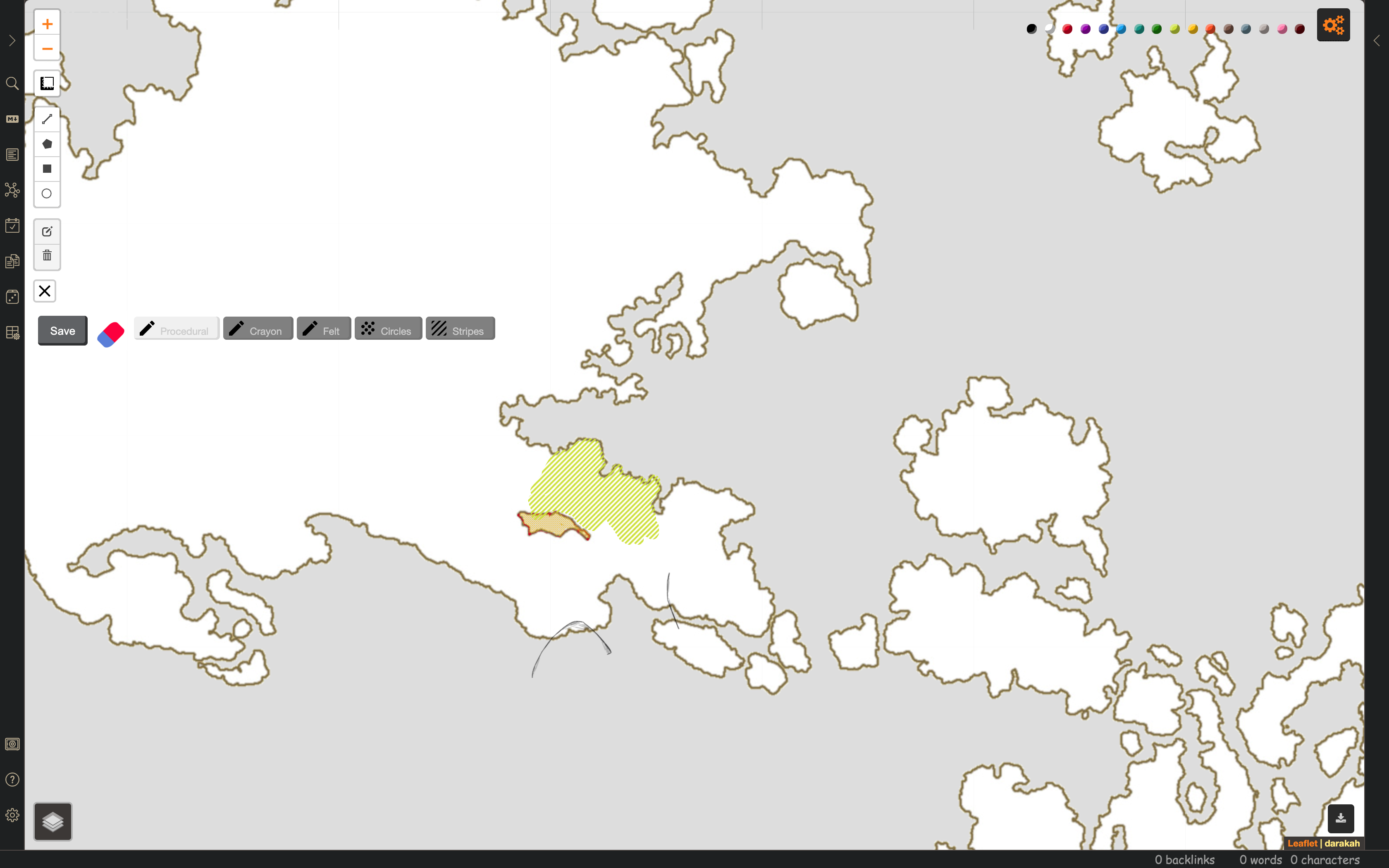
- Added on-map expandable settings tab which contains freeDraw controls cleaning UI (https://github.com/Darakah/obsidian-map/issues/2)
- Added export option for normal
Drawplugin (combined into same export based on activation of FreeDraw) - Implemented data retrival and display on map
- Added
Map Paintplugin / modified (https://github.com/SINTEF-9012/Leaflet.MapPaint) Map Paintimages are exported into plugin data and added as additional layers on map load. This allows to expend and add tile layers to base map.- Bug Fix: https://github.com/Darakah/obsidian-map/issues/9
- Bug Fix: https://github.com/Darakah/obsidian-map/issues/7
- Bug Fix: https://github.com/Darakah/obsidian-map/issues/1


